
Service 01
Geophysical Survey
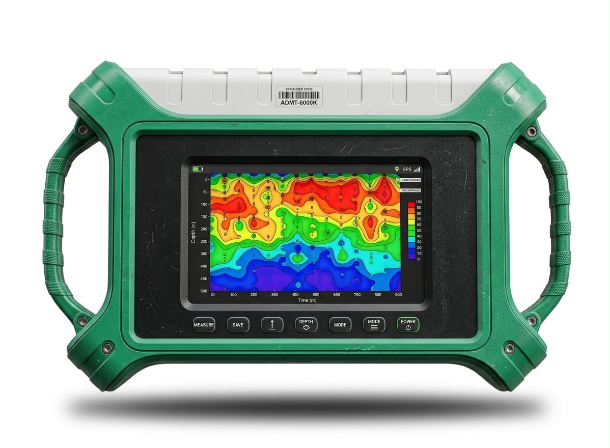
Groundwater investigation using electrical resistivity and related survey methods to locate viable aquifer zones and recommend a drilling point and depth range.
What this service involves
- Site reconnaissance and access assessment.
- Data collection using appropriate geophysical methods.
- Data interpretation to confirm subsurface geology and aquifer zone identification.
- Professional recommendations on drilling point, depth and casing type.
- Handing over of geophysical survey report.
Benefits
- Reduces the risk of drilling a dry or low-yield hole.
- Supports better budgeting before mobilisation.
- Provides documented technical evidence for approvals.
Our process
- 01Site visitWe inspect the land, access routes and existing water points.
- 02Data acquisitionResistivity readings are taken across selected traverses.
- 03InterpretationReadings are modelled to identify water-bearing formations.
- 04ReportYou receive the recommended point, depth range and next steps.
Common questions
Why is a geophysical survey important?
It identifies where water-bearing formations are most likely to occur, so drilling is guided by data rather than guesswork.
Can you survey a site you did not drill?
Yes. A survey can be carried out as a standalone service on any accessible site.